DRONE GEOSPATIAL
Inspections, Surveys and Mapping using Drones
WHAT IS DRONE GEOSPATIAL?
Drone Geospatial is a professional commercial UAV surveying operations and geoanalytics service.
Read more
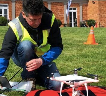
CAA PFCO licence No EUAS6707 and MSc in Geographical Information Science (GIS) - Distinction.

UAV SERVICES
- Surveying and mapping - RTK NetRover
- Aerial Inspections
- 3D Point Cloud
- Aerial Photography - Orthomosaic
- Volume Calculation
- Contour Lines
- 3D Textured Model
Mail: mark@dronegeospatial.com
Phone: +44 (0)7772237347
HELLO
I am a CAA registered UAV pilot, PFCO qualified and fully insured UAV or Drone pilot specialising in aerial inspections, surveying and mapping with a MSc (Distinction) in Geographical Information Science (GIS). ARPAS member, click below.